| I&T Solution |
Fixed-wing drone large area mapping & cloud-based image platform
(REF : S-0226)
|
| Trial Project |
|
| Solution Feature |
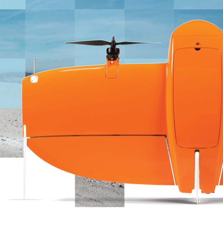
- We will integrate a new drone technology
- Vertical Take-off and Landing (VTOL) flights everywhere, safely for the people and payloads, no inconvenient runways, no risky hand launches and expensive belly landings
- Up to 80% faster surveying operations, ie 400 ha at 3 cm/px in 1 flight, due to the higher camera resolution and longer fixed-wing autonomy
- Down to 1 cm absolute accuracy, with a top-class PPK and best full-frame image quality, no GCPs required
- The image captured from the drone will be stored and processed in a cloud-based photo management platform wherein animal counting and identification can be done by computer.
|
| Trial Application and Expected Outcome |
- Trial flight in the designed marine area, every day, for a month.
- Manage all these daily images properly stitched together for viewing the details
- Store the stitched photos in a cloud-based platform, with easy login with password
- Analytics and reports on marine animals in the region in the platform
- Extend to other marine areas
|
| Info on I&T Solution Provider |
| Solution Provider | : | Digital G Limited |
| Address | : | 28/f, Devon House, Taikoo Place, Quarry Bay, Hong Kong. |
| Contact Person | : | Andy K L Wong |
|
Position | : | General Manager
|
|
Tel | : |
92025335
|
|
Email | : |
andy.wong@digital-g.tech
|
|
Webpage | : |
www.digital-g.tech
|
|