


Enhancement on the Digital Map of Notifiable Gas Installations (NGIs) and Potentially Hazardous Installations (PHIs)
| I&T Wish | Enhancement on the Digital Map of Notifiable Gas Installations (NGIs) and Potentially Hazardous Installations (PHIs) (REF: W-0008) |
|||||||||||||||
|---|---|---|---|---|---|---|---|---|---|---|---|---|---|---|---|---|
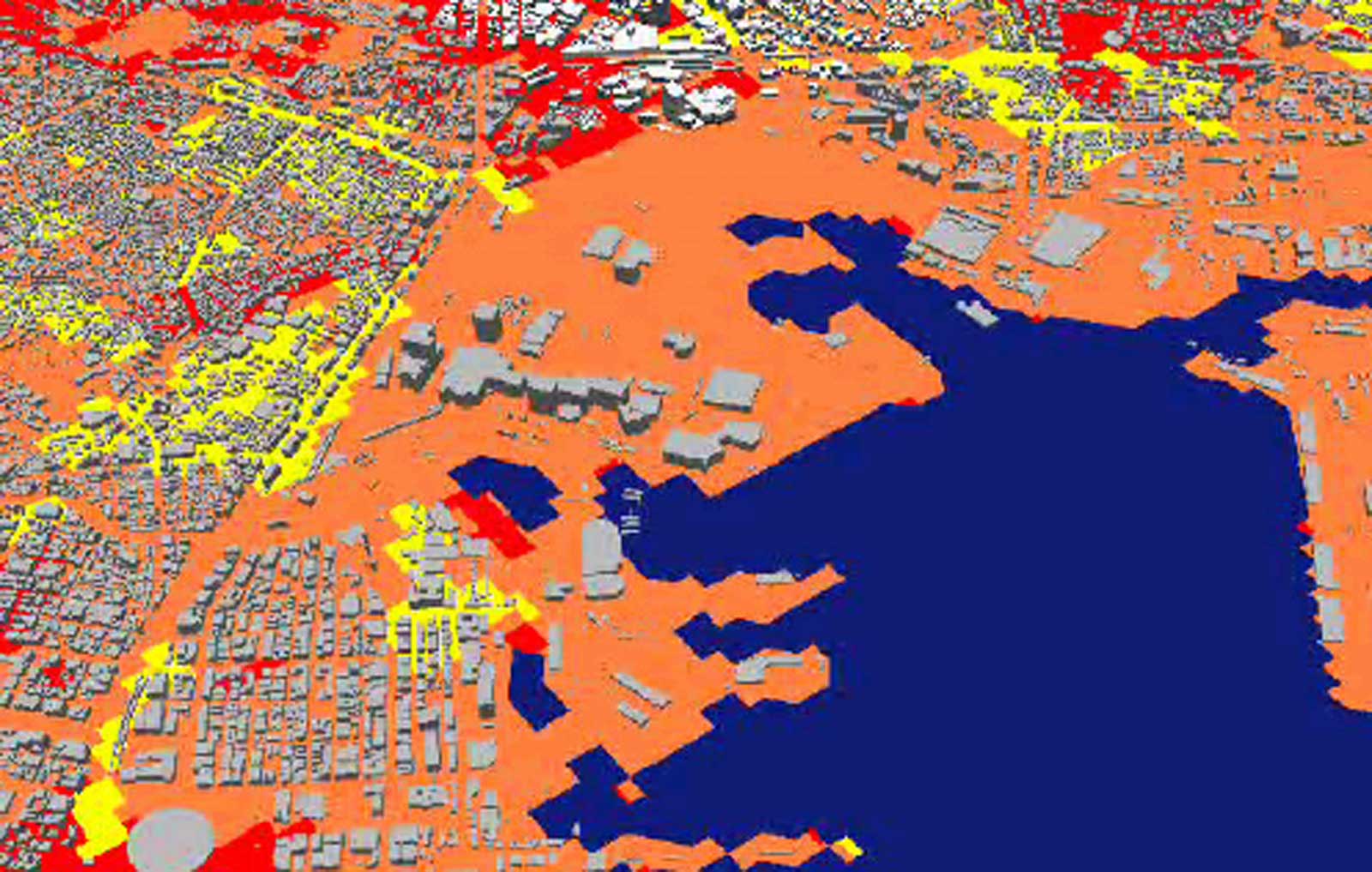
| Summary and Challenges | GasSO, being the Gas Authority and the gas risk adviser to the Government, is responsible to provide professional advices on gas risk perspective to facilitate other government departments in the planning process for land use and developments in the vicinity of NGIs and PHIs. If the concerned sites fall within the Consultation Zones (CZ) of NGIs and PHIs, quantitative risk assessment (QRA) might be required subject to our preliminary assessment results on the site conditions (e.g. any increase in the number of persons living or working in the CZ). As these CZ vary among different NGIs/PHIs and are not shown on our existing map, engineers have to locate the proposed development (submitted by the project proponent) on the map and check the CZ of those neighboring NGIs and PHIs manually which is rather time consuming, not to mention further time needed to draw up our comments/advice. The existing NGIs and PHIs map could be revamped by incorporating useful features and information so as to streamline the aforementioned tasks. The objectives of the project are:
|
|||||||||||||||
| Expected Outcome | To design and add useful features on the existing digital map of NGIs and PHIs, which could improve the efficiency of our advisory work on land use development and facilitate our monitoring of the NGIs and PHIs | |||||||||||||||
| Expected Trial Duration | 3 months | |||||||||||||||
| Contact Information |
|
|||||||||||||||
| Upload Date | 2018-03-01 | |||||||||||||||
| Closing Date | 2018-03-15 | |||||||||||||||
| Propose I&T Solution | Closed |